|
Rishiri-Rebun-Sarobetsu National Park is on the north-west tip of Hokkaido.
It consists of two Islands, Rishiri and Rebun, and an adjacent section of coastline on Hokkaido itself, known as the Wakasakanai Coast. The two islands are the main attraction of the area, featuring native wildflowers, spectacular landscapes and fantastic hiking for both experienced and beginner hikers. Summer would be the best time to visit. |
|
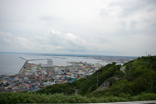
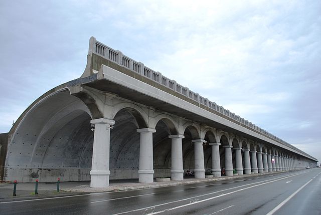
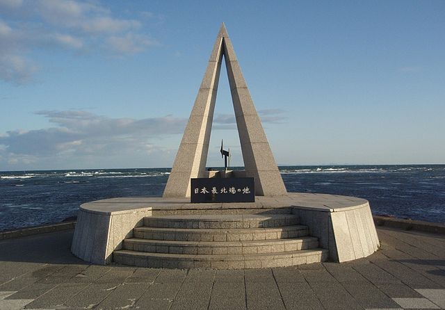
The town of Wakkanai does not offer much to see, but since Wakkanai is en route to the fascinating Rishiri-Rebun-Sarobetsu National Park which is worth travelling for, you might want to check out the few sights, which will fill out a day or two if you are in the area waiting for a ferry.
Ryuhyo "floating ice" is of some interest in winter, and occurs either in February or March. Ryuhyo is ice that drifts in from the sea. If you need to kill time waiting at the airport, the nearby Meguma Wilderness Garden is an option in spring when 300 different flowers are in bloom. |
|
Since the town itself is fairly compact, with most sights within 10–15 minutes of each other, you can easily walk through town.
There is a city bus with departures every 10–15 minutes operated by Soya Bus, and it is also possible to walk to Cape Noshappu: it's about 4 kilometers, which should take you around 40–50 minutes. For sights further afield like Cape Soya, there are about 4 buses per day going there, but be careful not to miss the last bus, as there is no other way of getting back other than to walk the 30 kilometers. |
|
There are buses on both Rishiri and Rebun islands. Bus timetables are available at the ferry terminals and on the ferry itself. Roads don't go to the interior of either island, so the best way to see them is on foot.
There are hiking trails on both islands that really let you explore the best parts of the islands, and it may be desirable to take buses or taxis to the trail-heads. Cars are available for rent on Rebun. It is also possible to book a nature tour by bus on the islands. |
|
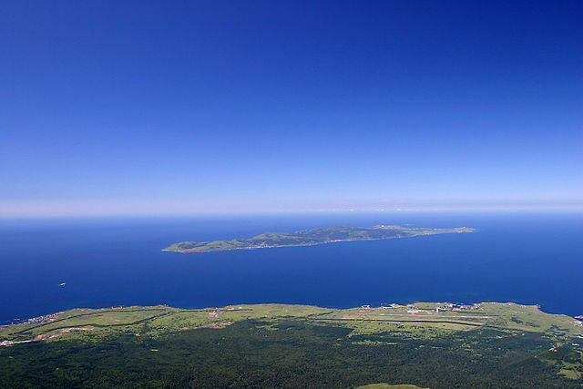
Rebun Island is the smaller of the two with its highest peak, Rebun-dake a 490 meters above the sea level. Rebun is a longish island, about 10 km northwest of Rishiri Island. The two islands are separated by the Rebun Channel.
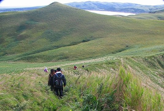
Rebun stretches 29 kilometres from north to south and 8 kilometres from east to west. The island is approximately 50 kilometers west of Wakkanai. Rebun Island is known for its alpine flowers, some waterfalls, unique rock formations and the 8-Hour Hiking Course which runs from one end of the island to the other, north to south. |
|
The hiking course can be broken into two sections, known as the 4-Hour Hiking Courses.
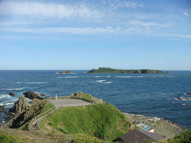
Cape Sukoton is the northernmost point of Rebun Island. From the cape you can see the Todo Island just in front of you and also see Sakhalin far away on a clear day. Todo Island is an uninhabited island where seals come. Cape Sukoton is a starting point of the 4-hour and 8-hour hiking courses. Besides the fine views and a souvenir shop, there is not much to be found. |
|
For those desiring a less grueling walk, there's a shorter, 40 minute hike to the Momoiwa "Peach Rock" lookout starting nearby the ferry terminal in the port of Kafuka.
The beautiful natural scenery of Rebun, alpine flowers, some of which cannot be found anywhere else in the world, in combination with views of nearby Rishiri Island can be enjoyed from the Momoiwa observation deck, and the pleasant hiking course that leads along the ridge of the hills to Shiretoko. The flowers are in bloom from around June to August, the best time to visit Rebun. |
|
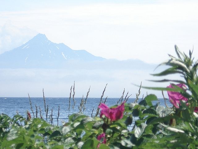
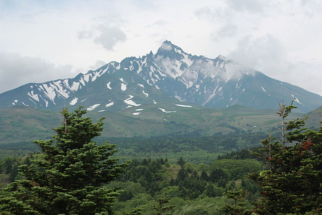
Rishiri is a small island with a dormant volcano called Mount Rishiri at its center, which towers 1721 meters over the surrounding sea.
It can be seen from over 100 kilometers away. The climb to the top of Mount Rishiri takes a full day and is quite challenging. With a circumference of about 60 kilometers, the Island offers various hiking and walking opportunities. There is also a cycling road along the island's northern coast. |
|
On Rishiri, the big hike is the climb to the peak of Mount Rishiri. There are two approaches, starting from either the north or the west. You can go up one and down the other or in-and-out the same way.
Cars can proceed as far as the 3rd Station on the Oshidomari side and as far as the 5th Station on the Kutsugata side. An observation deck with nice views can be reached in a short walk from the 5th Station's parking area. |
|
If you choose to climb from Oshidomari side after 9:00 in the morning, the campground workers will give you a map and ask you to sign their hiking book.
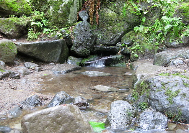
After several hundred meters, you reach the Kanronsen Spring. This is your last chance to get water, so get as much as you think you’d need. The trail gradually winds its way upward. There are a few outhouses along the way, and also an unmanned emergency-use cabin. Closer to the top, the trees get smaller and you walk up an exposed ridgeline. |
|
In the sun, this section gets hot and dry, and in bad weather could be very dangerous, so bring appropriate gear and go down if the weather gets bad.
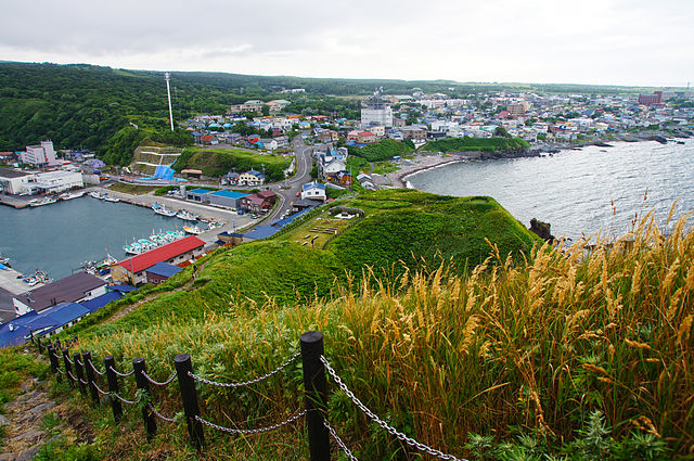
Several minutes below the peak, the western trail forks off to the side. Continue to the summit, and you'll find a small shrine. Speed hikers have done round-trip hikes on the northern path in 6 hours, though most people take 8-10 hours. Cape Peshi is located just next to the port of Oshidomari which is Rishiri's largest town. |
|
There is a walking trail up to the top "taking about 5-10 minutes", from where nice views of Oshidomari Port, Yuhigaoka Observatory and Mount Rishiri can be enjoyed.
Lake Hime "Himenuma" is an exquisite forest-surrounded man-made lake at the foot of Mount Rishiri. The cycling road follows the northern coast of Rishiri from Lake Hime to the port of Kutsugata for about 20 kilometers. Bicycles are provided by many of the island's accommodations and some rental shops. In the south of the Island there is Otatomari, another beautiful Lake. |
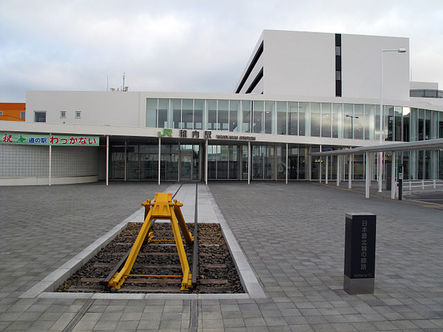
Access To WakkanaiBy Air - Wakkanai Airport is located 10 Kilometers southeast of the city; fields regular flights to Sapporo and Tokyo Haneda Airport. The airport is 20 minutes away from Wakkanai station by bus.
By Train – Wakkanai can be reached from Sapporo by Ltd. Exp. Soya "takes about 5 hours and a half". The Ltd. Exp. Sarobetsu connects Wakkanai to Asahikawa "takes about 3 hours and 45 minutes". Both trains are fully covered by Japan Rail Pass and Hokkaido Rail Pass. |
Rishiri And Rebun AccessBy Air - Hokkaido Air System "HAC", operates daily flights between Rishiri Airport and Sapporo's Okadama Airport "takes about 1 hour".
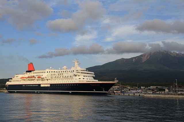
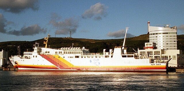
By Ferry - Heart Land Ferry operates frequent "in summer" connections to Rebun and Rishiri Islands from the city of Wakkanai. The ferry terminal is located directly east of the train station. There are also ferries directly connecting Rishiri and Rebun. |
|
Muslim Friendly AccommodationHere you can search for airline tickets and hotels worldwide. The Jetradar search engine compare ticket prices provided by over 200 booking agencies.
So far there is no Muslim friendly hotel in Wakkanai. The Hotellook search engine can help you for random hotel reservation in the area. It compares prices from 70 hotel booking services. Each will show you the lowest prices available at the time. Fill out the details and press search. You can also search with the Hotel Map below which shows hotel prices and location on the map. |
|
|
There are Vacation Rentals in the area which suit travelers who prefer to rent a living space, especially for larger groups, families or those who seek a more local, everyday life experience. If you are traveling light and looking for a more economical place to stay Hostels and Guesthouses are a good options.
If you would like to rent a car use the search engine here and book a car in advance. Fill out the details; pickup and drop-off places, date and time, and press search. You will be redirected to Rental Cars website where a list of available cars will be shown to you to choose from. |
|
|
|
Rishiri-Rebun-Sarobetsu National Park - Soya Sub-prefecture, Hokkaido Prefecture

